-
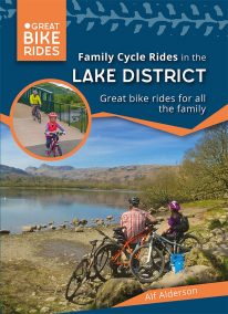 by Alf Alderson As one of the UK’s most beautiful regions it’s no surprise that the Lake Districtis so popular amongst cyclists. It also has a fearsome reputation — climbs such as Honister Pass and Whinlatter Pass are challenging enough to have featured in the Tour of Britain, whilst the grueling combination of Hardknott and Wrynose Passes between Little Langdale and Eskdale offers some of the toughest cycling in the country, with 33 per cent gradients in some places. But the Lake District is not all super-steep hills, fortunately! There are plenty of easy lakeside cycle paths and quiet country lanes, along with the mountain bike centres at Whinlatter and Grizedale, where even the youngest cycling enthusiast can get to know this beautiful landscape. So with a little effort, anyone can access some truly magnificent Cumbrian scenery on their bike
 -
 Even the Peak District's name conceals a mystery. Forget the obvious: a visitor expecting towering peaks will be disappointed, as the name comes from the Pecsaetan tribe who once lived here. But there’s a twist: the Anglo-Saxon means “settlers of the Pec”…and that word pec has the same root as our peak, the dialect pike and the Pyrenean pic. So, ultimately, the Peak District is named after its peaks, after all. The Peak District is broadly defined by the conurbations at its corners: Manchester, Sheffield, Derby and Stoke. Within this rectangle, the National Park forms a rough oval of around 550 square miles. The area is traditionally divided into the Dark Peak – peat moorland edged by gritstone, with rugged villages in the valleys — and the softer White Peak - upland pastures defined by drystone walls, divided by gorges and limestone villages. The eastern and western moors are similar to the Dark Peak, but have their own subtly distinctive characters. The Peak District was occupied by humans long before the Pecsaetans and in each era man has left his mark, from prehistoric standing stones and rock art, through the folk legends, crosses and churches of the Middle Ages, to post-medieval follies and puzzling relics of the extraction of lime and lead. The varied geology of the area throws up natural curiosities too: its dark gritstone has wind-sculpted tors and edges, while its gleaming limestone hides caves and subterranean rivers. This handy pocket size book will take you on short circular walks to the ten most fascinating, odd or strange places in the Peak District. Prepare to be amazed and surprised.
 -
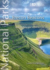 by Laura Hodgkinson This good looking, modern walking book will take you on ten short circular themed walks across South Wales' ever-popular Brecon Beacons National Park. The Brecon Beacons was Britain’s 10th National Park, established in 1957 to preserve and highlight the unique landscape of the area. The Brecon Beacons are said to be named after the historical practice of lighting beacons of fire upon hilltops to forewarn neighbouring valleys of invasion. The Brecon Beacons cover 1,344 square kilometres / 519 square miles with it’s spectacular waterfalls, valleys and expanse of hilly terrain; the Black Mountain to the west, the Fforest Fawr Geopark, Waterfall Country and the Pen y Fan range at the centre, and The Black Mountains to the east. The variety of flora and fauna is as vast as the landscape. Rare sub-arctic, alpine plants thrive within this unique climate. Mammals you're likely to spot include include wild mountain ponies, horseshoe bats, otters and water voles. Often seen birds of prey include the buzzard and iconic red kite. It's a wonderful area for walking and for everyone with a love of the outdoors.
 -
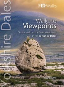
The Yorkshire Dales' Finest Views
Many memories of walks in the Dales are distilled into the fine views one experiences, and it would be a mistake to assume that great views necessarily entail sustained climbs up to the top of the nearest fells. As Wordsworth would have it, one might be ‘surprised by joy’ when coming out of a belt of woodland into fields, or onto the edge of a limestone outcrop, or discovering a hidden valley. Finding a contouring path with a panorama of the bucolic dale below slowly unfolding is so rewarding, as is contemplating the changes of light as the shadows of clouds play upon the wide open moorlands so characteristic of the Yorkshire Dales. The underlying geology, mainly of gritstone and limestone, give rise to different farming practices and other land use which, in turn, provide different vistas and experiences for the walker. Classic Dales’ scenery of limestone pavements, scars and screes features strongly as do the atmospheric limestone gorges formed by glacial action. The two main upland glacial lakes in the Dales and their associated wetlands also feature, as do some lovely riverside strolls through flower-rich meadows. These walks reflect the variety of scenery in the landscapes of the Yorkshire Dales. They are also an invaluable guide to the best views and locations for the keen photographer. Enjoy! -
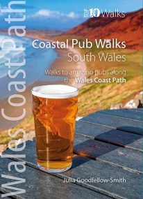
South Wales' best coastal pub walks
This pocket-sized guide gives walkers ten easy, circular walks to amazing coastal pubs along the South Wales section of the Wales Coast Path. With clear information, an overview and introduction for each walk, expertly written numbered directions, large scale Ordnance Survey maps, superb eye-grabbing panoramic photographs, and interpretation of points of interest along the way, these guides set a new standard in clarity and ease-of-use. Each of the short circular walks has been selected for both the quality of the pub and the walk itself. The routes cover the very best walking country in the area. All are in landscapes with particular historical or wildlife interest, and all follow part of the Wales Coast Path. -
 If you've ever climbed Snowdon/Yr Wyddfa (or even just dream of climbing Snowdon) - Wales' highest mountain - then this stylish, superb quality sew-on embroidered patch makes a great souvenir, keepsake or gift.
- Eye-catching, modern design
- Full colour
- Embroidered
- 80mm high
- Contrasting stitched edge
- Colourfast and washable
- Designed in Wales
-
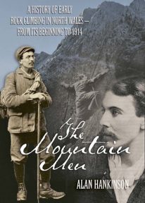 The fascinating inside story of pioneer rock climbers in Snowdonia, from the closing decades of the nineteenth century until the outbreak of the First World War.
 -
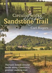 A popular classic Cheshire walking book. The Sandstone Trail runs for 34 miles/55 km along Cheshire’s wooded central sandstone ridge, and is one of Northwest England’s best-known and most popular walking routes.
 -
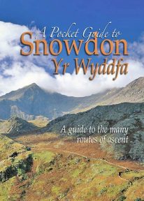 This book is a new and wholly updated edition of the popular, full-colour, handy sized guide to all of Snowdon’s recognised routes of ascent – from the six ‘Classic Paths’ to the many lesser known and less frequented routes.
 -
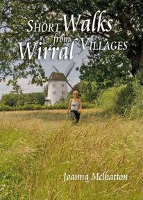 The 30 short circular walks in this book have been written with the non-serious walker in mind, varying in length from just 1 to 4¾ miles (1.5km to 7.5km). Each walk has something of interest to discover — you will visit the site of an ancient port now completely dried out and over a mile inland; a seafront with neither sand nor sea; a wild, wooded river valley in the heart of industrial Merseyside and a lowland heath with wide views to the Welsh hills
 -
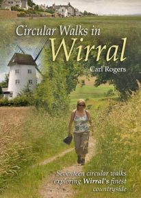 Circular Walks in Wirral will take you to some of Wirral’s most peaceful and scenic corners, and outlines 17 walks exploring Wirral's finest countryside spread throughout the peninsula.
 -
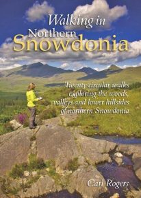 This attractive book explores twenty of the best low level circular walks in northern Snowdonia. Walking in Northern Snowdonia is dedicated to the northern half of the National Park, bounded by the Conwy Valley to the east, Glyn Lledr and the Vale of Ffestiniog to the south and Cwm Pennant to the west. Twenty circular walks are described, ranging in length from 4½ to 9 miles, which explore the woods, valleys and lower hillsides of this unique and beautiful area.