The Wales Coast Path is constantly evolving and improving. New routes closer to the sea are being added, storm damage repaired, landslips worked around, bridges built and short cuts or more picturesque paths adopted, all the time. Each change improves the walking experience, albeit slowly, bit by bit.
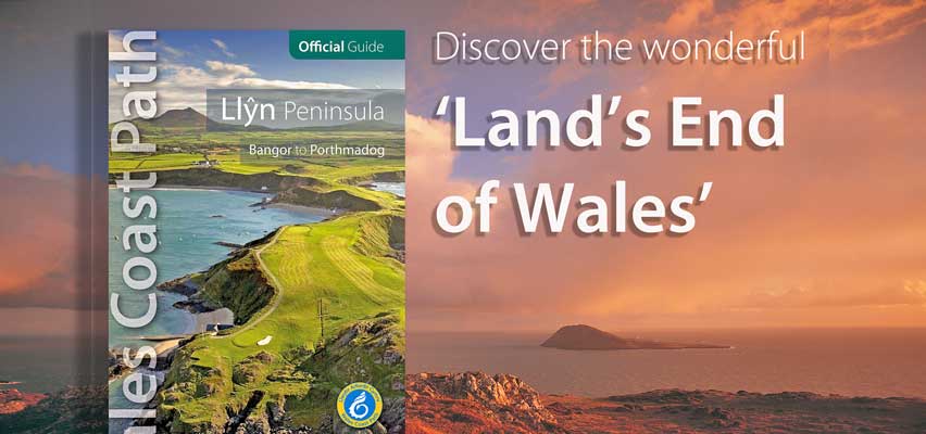
On the lovely Llyn peninsula, the ‘Land’s End of Wales’ — that remote arm sticking out into the Irish Sea below Anglesey — there have been plenty of changes, small and large, since the path was opened in May 2012. All of them will be incorporated into a new edition of the Official Guide due for publication by Northern Eye Books in 2016. As you’d expect, this involves rewalking sections of the path, as well as painstaking consultation with the Wales Coast Path management team at Natural Resources Wales and the Access Officers attached to local authorities. Once written and amended, the text is rechecked to ensure it’s as up-to-date as it can be before we go to print.
There are notable are changes on the Llyn, for example, near Porth Oer/Whistling Sands, on the tip of Llyn between Mynydd Anelog and Uwchmynydd, at the eastern end of Hell’s Mouth, from Porth Cadlan to Porth Ysgo and above Porth Ceiriad. All have recently been checked, updated and rewritten.
This long process means the Official Guides are as accurate as we can make them. And, because they’re based on intimate ‘insider’ knowledge, we believe they’re ahead of other guides by a long chalk.
Leave A Comment